
Remote Sensing Image Dataset
Project Overview:
Objective
The primary goal is to create a high-quality dataset that enables the precise and efficient classification of land use and land cover categories using remote sensing imagery. By utilizing satellite data, the project aims to provide researchers and practitioners with a standardized benchmark dataset for remote sensing applications.
Scope
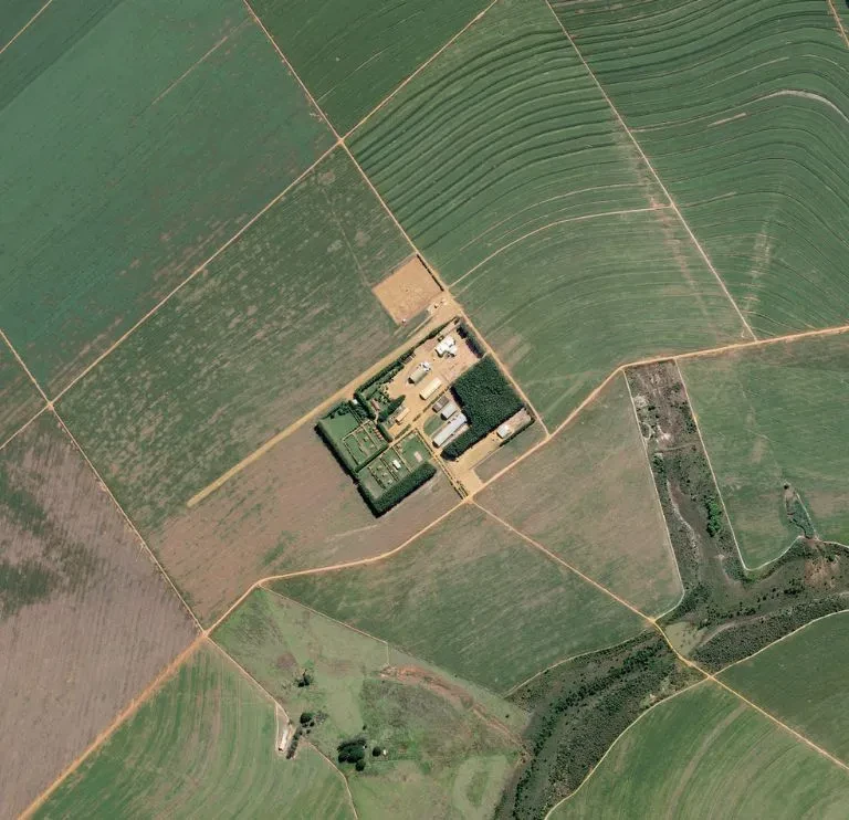
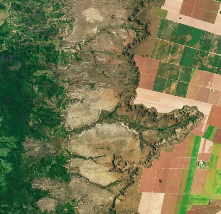
Remote Sensing Image Dataset covers ten types of land use and land cover, such as agricultural, forested, residential, industrial, and natural landscapes. Additionally, it spans various geographical regions across Europe, offering a diverse range of environmental conditions and terrain types for analysis.


Sources
- Drawing from the satellite imagery captured by the European Space Agency’s Sentinel-2 satellite constellation, EuroSAT comprises images acquired at high spatial resolution and across multiple spectral bands. These images furnish intricate insights into land surface characteristics and features.


Data Collection Metrics
- Total Data Collected: EuroSAT comprises thousands of high-resolution satellite images, encompassing a diverse array of land use and land cover classes.
- Annotation Process: Each image undergoes meticulous annotation, with labels assigned to denote the corresponding land use or land cover category. This enables the facilitation of supervised learning-based classification tasks.
Annotation Process
Stages
Land Use/Land Cover Classification: Images are carefully labeled into ten predefined classes, such as urban, agricultural, and forested areas, to indicate different types of land use and cover. This classification helps in understanding how land is utilized and managed.
Pixel-level annotation: is a careful process where each pixel in an image is labeled according to its land cover class. As a result, this method allows for thorough analysis and segmentation tasks. Moreover, it helps in achieving precise outcomes.
Annotation Metrics
- Class Labels: Each image is annotated with a class label denoting the land use or land cover category it represents.
- Pixel-level Annotations: For images with pixel-level annotation, every pixel receives a label indicative of its associated land cover class, providing detailed insights for semantic segmentation tasks.

Quality Assurance
Stages
Annotation Accuracy: Our annotators undergo extensive training to ensure accurate and consistent labeling of land use and land cover categories throughout the dataset.
Data Validation: Furthermore, we have a strong validation process in place to check the accuracy of annotations, which ensures the overall quality of the dataset.
Continuous Improvement: In addition, feedback from users and ongoing research efforts continually help to refine and enhance the dataset over time.
QA Metrics
- Annotation Consistency: EuroSAT consistently classifies land use and land cover accurately across the entire dataset. This high level of consistency ensures reliable results.
- Data Quality: The dataset goes through thorough validation to meet strict standards of accuracy and completeness. Therefore, it is highly suitable for various remote sensing applications.
Conclusion
EuroSAT is a vital tool for improving research and applications in remote sensing and Earth observation. By providing a standardized benchmark dataset from satellite images, EuroSAT helps in the development and testing of machine learning algorithms for land use and land cover classification. As a result, it advances remote sensing science and technology, encouraging innovation in the field. Furthermore, EuroSAT’s standardized approach ensures consistent and comparable results across different studies, which is crucial for increasing knowledge and practical applications in this area.

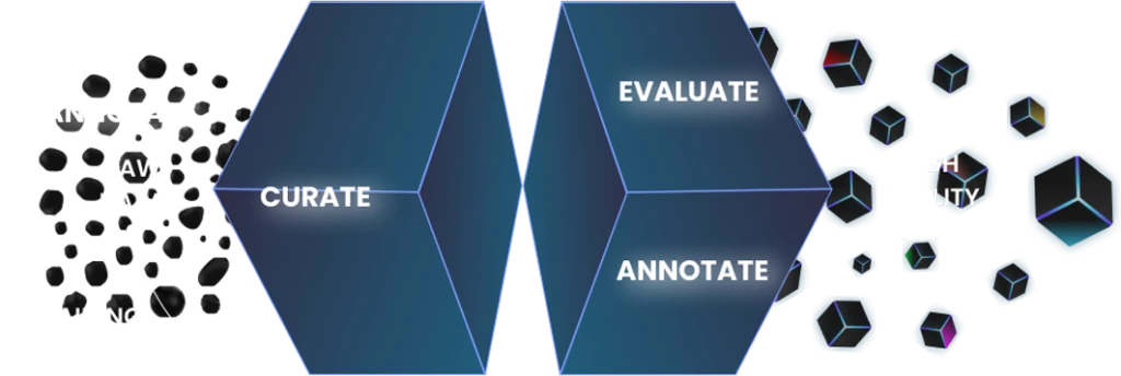
Quality Data Creation

Guaranteed TAT

ISO 9001:2015, ISO/IEC 27001:2013 Certified

HIPAA Compliance

GDPR Compliance

Compliance and Security
Let's Discuss your Data collection Requirement With Us
To get a detailed estimation of requirements please reach us.