
Expert LIDAR Annotation Services by GTS
ADAS Annotation Services: LIDAR Annotation
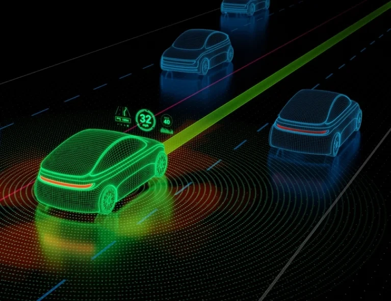
With LIDAR, or Light Detection and Ranging tech, we’ve flipped the script on how we see and interpret our world. At GTS, we give raw LIDAR data a makeover, turning it into organized and insightful info through our specialized annotation services. We carefully tag and categorize this data, laying a smooth path for AI to understand and work with complex settings like it’s second nature.
80+
Countries
300+
Projects
Our LIDAR Annotation Expertise:
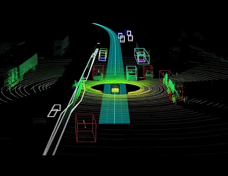
- Object Annotation: Our team excels in identifying and annotating diverse objects within LIDAR datasets, from vehicles and pedestrians to minute details like traffic signs and lane markings.
- Semantic Segmentation: We classify every single point in a LIDAR dataset, ensuring AI systems have a comprehensive understanding of the environment down to the finest details.
- 3D Bounding Boxes: For applications demanding depth perception, we enclose objects in 3D bounding boxes, granting AI the ability to gauge dimensions, orientations, and relations between objects.
Areas We're Making a Difference In:
- Self-Driving Cars: With our detailed notes, these high-tech rides make safer and sharper choices, acing their way around the world with pinpoint accuracy.
- Urban Planning: City planners and architects utilize our annotated LIDAR data to build sustainable and efficient urban infrastructures.
- Agriculture: Farmers and agribusinesses leverage our LIDAR annotations to understand topography and optimize land use for improved crop yield.
- Forestry: We use detailed notes to help manage forests, count trees, and keep an eye on the health of our ecosystems.
Applications of LIDAR Annotation:
- Navigation and Mapping: Creating detailed and accurate 3D maps for various navigation applications.
- Disaster Management: Assisting rescue and relief operations by mapping affected areas with high precision.
- Infrastructure Management: Evaluating the conditions of roads, bridges, and other structures to ensure safety and longevity.
- Environmental Monitoring: Gauging changes in ecosystems, tracking deforestation, and monitoring coastal erosions.
ADAS Image and Video Annotation Services
Exploring Face Image ...
In the ever-evolving world of technology, face image datasets have emerged as a cornerstone for…
Unlocking the Potential...
In the domain of artificial intelligence (AI), datasets for machine learning (ML) play a crucial role in training. An

Speech Transcription:..
In today’s fast-paced world of voice recognition technology, speech transcription emerges as a…
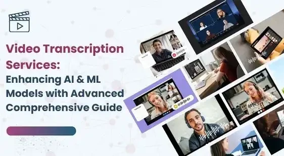
Enhancing AI & ML ...
In the rapidly evolving world of artificial intelligence (AI) and machine learning (ML), the ability to …
Let's Discuss your Data collection Requirement With Us
To get a detailed estimation of requirements please reach us.