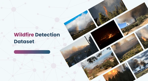
Wildfire Detection Dataset
Home » Dataset Download » Wildfire Detection Dataset
Wildfire Detection Dataset
Datasets
Wildfire Detection Dataset
File
Wildfire Detection
Use Case
Wildfire Detection
Description
Explore our meticulously curated Wildfire Detection Dataset, featuring 2,700 high-resolution aerial and ground-based images.

Description:
The Wildfire Dataset is a meticulously curated collection aimed at leveraging RGB imagery for forest fire detection through advanced machine learning techniques. It encompasses 2,700 aerial and ground-based images sourced from public domain platforms such as government databases, Flickr, and Unsplash. The dataset captures diverse environmental scenarios, forest types, geographical locations, and fire dynamics, making it an essential benchmark for forest fire detection research.
Download Dataset
Key Features:
- Resolution Insights:
- Average: 4057×3155 pixels
- Minimum: 153×206 pixels
- Maximum: 19699×8974 pixels
- Standard Deviation (Width): 1867.47 pixels
- Standard Deviation (Height): 1388.60 pixels
- Scale Variability: Reflects the diversity of real-world scales from various sources.
- Dynamic Dataset: Continuously updated with new images, videos, and data types based on user feedback.
Innovative Approach: A unique Multi-Task Learning framework integrates multi-class confounding elements to enhance forest fire detection accuracy and reduce false alarms, outperforming traditional classification techniques.
This dataset is sourced from Kaggle.
Contact Us

Quality Data Creation

Guaranteed TAT

ISO 9001:2015, ISO/IEC 27001:2013 Certified

HIPAA Compliance

GDPR Compliance

Compliance and Security
Let's Discuss your Data collection Requirement With Us
To get a detailed estimation of requirements please reach us.
