UAVid Dataset
Home » Dataset Download » UAVid Dataset
UAVid Dataset
Datasets
UAVid Dataset
File
UAVid Dataset
Use Case
Computer Vision
Description
Discover the dataset, featuring high-resolution UAV videos optimized for semantic segmentation tasks in urban environments.

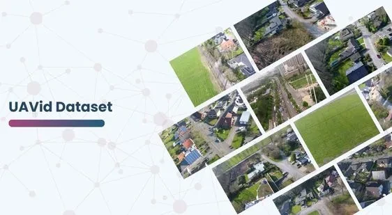
The UAVid dataset is a comprehensive collection of high-resolution UAV (Unmanned Aerial Vehicle) videos tailored specifically for semantic segmentation tasks in urban environments.
Key features of this dataset include:
Semantic Segmentation:
Our datasets are annotated for precise semantic segmentation, which allows for the identification and classification of different objects within urban landscapes.
High Resolution:
All videos are captured in 4K resolution, making sure that urban scenes are shown in great detail and accuracy.
Diverse Object Categories: The dataset encompasses eight distinct object categories commonly encountered in urban settings:
Building
Road
Static Car
Tree
Low Vegetation
Human
Moving Car
Background Clutter
Street Scene Context:
Focusing on street-level views, the dataset offers a practical understanding of city environments. This is crucial for real-world uses like self-driving cars, city planning, and tracking environmental changes.
To provide a more comprehensive picture, the dataset captures a variety of elements such as pedestrian activity, vehicle traffic, and infrastructure details. This helps in developing more accurate models for urban development and smart city initiatives. Moreover, by including different weather conditions and times of day, the dataset ensures robustness and versatility in real-world applications.
This dataset is sourced from Kaggle.
Contact Us

Quality Data Creation

Guaranteed TAT

ISO 9001:2015, ISO/IEC 27001:2013 Certified

HIPAA Compliance

GDPR Compliance

Compliance and Security
Let's Discuss your Data collection Requirement With Us
To get a detailed estimation of requirements please reach us.
