
Ships in Satellite Imagery
Home » Dataset Download » Ships in Satellite Imagery
Ships in Satellite Imagery
Datasets
Ships in Satellite Imagery
File
Ships in Satellite Imagery
Use Case
Maritime Surveillance
Description
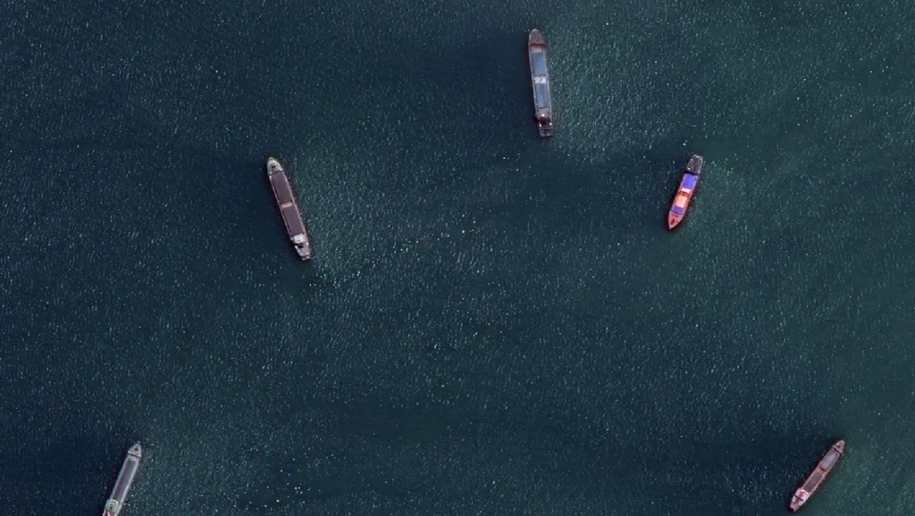
Ships in satellite imagery refer to the detection and identification of maritime vessels, including boats, ships, and other watercraft, using data captured by satellites orbiting the Earth. This task is of significant interest and importance for various applications, such as maritime security, environmental monitoring, and navigation.
About Dataset
At Globose Technology Solutions Private Limited, we’re experts in gathering AI-powered data from different places, like satellite images. Recently, we’ve been figuring out how to use AI to detect ships in satellite photos.
Key Insights:
- Uncovering Hidden Vessels:
- Our advanced AI algorithms can detect ships that are hidden within large areas of satellite images. This is especially helpful for smaller maritime companies who can use machine learning to analyze shipping data without spending too much.
- Precision and Accuracy:
- Our models are trained meticulously to accurately identify vessels, reducing the chances of false positives. This accuracy is crucial for ensuring maritime safety, monitoring global trade, and conducting environmental studies.
- Diverse Applications:
- Our technology for spotting ships has various applications, from enhancing maritime surveillance to optimizing shipping routes. Satellite imagery contains valuable information that governments, businesses, and researchers can benefit from.
4. Data Download:
- To help you dive deeper into this captivating area, we’ve got a handpicked dataset of ships seen in satellite images for you.
- Download the dataset here to embark on your own data-driven journey.
Conclusion
At Globose Technology Solutions Private Limited, we’re dedicated to breaking new ground in AI data collection and analysis. Our expertise in identifying ships in satellite images demonstrates our commitment to innovation and making important data accessible to all.
Unlock the potential of satellite imagery with our AI-driven solutions. Contact us today to learn more about how we can empower your projects with cutting-edge data insights.
Download the dataset now!
Contact Us

Quality Data Creation

Guaranteed TAT

ISO 9001:2015, ISO/IEC 27001:2013 Certified

HIPAA Compliance

GDPR Compliance

Compliance and Security
Let's Discuss your Data collection Requirement With Us
To get a detailed estimation of requirements please reach us.