MLRS Net
Home » Dataset Download » MLRS Net
MLRS Net
Datasets
MLRS Net
File
MLRS Net
Use Case
MLRS Net
Description
MLRSNet is a comprehensive multi-label high spatial resolution remote sensing dataset, ideal for semantic scene understanding, image classification, retrieval, and segmentation.
Description:
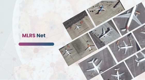
MLRSNet is a multi-label high spatial resolution remote sensing dataset designed for semantic scene understanding. It offers diverse perspectives of the world captured from satellites, comprising high spatial resolution optical satellite images. The dataset contains 109,161 remote sensing images, meticulously annotated into 46 categories, with each category holding between 1,500 to 3,000 sample images. Each image maintains a fixed size of 256×256 pixels, featuring various pixel resolutions ranging from approximately 10 meters to 0.1 meters.
Download Dataset
Each image in MLRSNet is tagged with several of 60 predefined class labels, with the number of labels per image varying between 1 and 13. This comprehensive labeling enables the dataset to support multiple applications, including multi-label based image classification, multi-label based image retrieval, and image segmentation. MLRSNet thus serves as a valuable resource for advancing research and development in remote sensing and related fields.
Key Features of the Dataset
- Large-Scale Dataset: Contains over 100,000 high-resolution satellite images.
- Multi-Label Annotation: Each image can have multiple labels (1 to 13), enabling advanced classification tasks.
- High Spatial Resolution: Pixel resolution ranges from 0.1m to 10m, ensuring detailed scene representation.
- Wide Category Coverage: Includes 46 scene categories with balanced sample distribution.
- Standardized Image Size: All images are resized to 256×256 pixels for efficient model training.
Potential Applications
This dataset can be used in a wide range of remote sensing and AI applications:
- Multi-Label Image Classification: Train models to identify multiple land-use categories in a single image.
- Remote Sensing Image Retrieval: Build systems that retrieve similar satellite images based on content.
- Urban Planning: Analyze land use, infrastructure, and city development patterns.
- Environmental Monitoring: Track deforestation, water bodies, and environmental changes.
- Disaster Management: Assist in identifying affected areas during natural disasters.
Conclusion
This dataset provides a strong foundation for developing machine learning models for multi-label classification and remote sensing analysis. It supports applications in satellite image interpretation, environmental monitoring, and geospatial intelligence. With its large-scale, diverse, and well-annotated data, it enables accurate and scalable AI-driven solutions.
This dataset is sourced from Kaggle.
Contact Us

Quality Data Creation

Guaranteed TAT

ISO 9001:2015, ISO/IEC 27001:2013 Certified

HIPAA Compliance

GDPR Compliance

Compliance and Security
Let's Discuss your Data collection Requirement With Us
To get a detailed estimation of requirements please reach us.