Land-Use Scene Classification
Home » Dataset Download » Land-Use Scene Classification
Land-Use Scene Classification
Datasets
Land-Use Scene Classification
File
Land-Use Scene Classification
Use Case
Computer Vision
Description
The main aim of this project is the masking of regions where land is being used in satellite images obtained through Landsat which have a low spatial resolution.

About Dataset
Context
The main aim of this project is the masking of regions where land is being used in satellite images obtained through Landsat which have a low spatial resolution.
Content
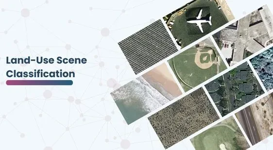
This dataset contains satellite images of 21 classes such as buildings, baseball fields, freeways, etc. The original size of the images is 256×256 pixels. Originally there were 100 images per class. After augmenting each image 4 times the size of each class was brought up to 500 images. This allows for making a more robust model.
Acknowledgements
This dataset is sourced from Kaggle.
Credits –
- Dataset: Yi Yang and Shawn Newsam, “Bag-Of-Visual-Words and Spatial Extensions for Land-Use Classification,” ACM SIGSPATIAL International Conference on Advances in Geographic Information Systems (ACM GIS), 2010.
Contact Us

Quality Data Creation

Guaranteed TAT

ISO 9001:2015, ISO/IEC 27001:2013 Certified

HIPAA Compliance

GDPR Compliance

Compliance and Security
Let's Discuss your Data collection Requirement With Us
To get a detailed estimation of requirements please reach us.
