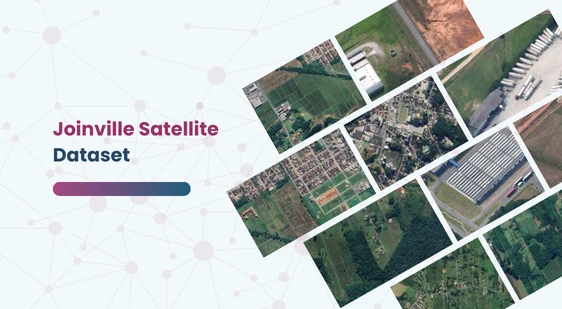
Joinville Satellite Dataset
Home » Dataset Download » Joinville Satellite Dataset
Joinville Satellite Dataset
Datasets
Joinville Satellite Dataset
File
Satellite Dataset
Use Case
Satellite Dataset
Description
Explore the Satellite Dataset, featuring annotated satellite images of urban, suburban, and rural areas in Joinville, Brazil. Ideal for urban planning.

Description:
The Satellite Dataset offers a curated collection of satellite images depicting both inhabited and uninhabited areas in the Joinville region of Brazil. This dataset is designed to provide a detailed visual insight into the diverse landscapes, highlighting the interaction between natural and urban environments.
Download Dataset
Key Features:
- Coverage: Images covering various parts of Joinville, including urban, suburban, and rural areas.
- Labels: Each image is annotated with labels distinguishing inhabited from uninhabited areas.
- Applications: Suitable for training machine learning models in urban planning, environmental monitoring, and geographic analysis.
Use Cases:
- Urban Planning: Analyze urban sprawl and development patterns.
- Environmental Monitoring: Monitor changes in natural landscapes and human impact.
- Geographic Analysis: Study the spatial distribution of different land use types.
This dataset is sourced from Kaggle.
Contact Us

Quality Data Creation

Guaranteed TAT

ISO 9001:2015, ISO/IEC 27001:2013 Certified

HIPAA Compliance

GDPR Compliance

Compliance and Security
Let's Discuss your Data collection Requirement With Us
To get a detailed estimation of requirements please reach us.
