
Global Earthquake Dataset
Home » Dataset Download » Global Earthquake Dataset
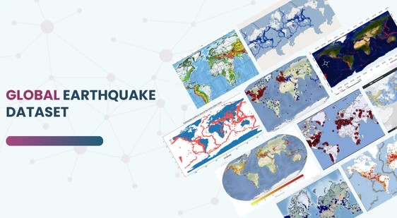
Global Earthquake Dataset
Datasets
Global Earthquake Dataset
File
Global Earthquake Dataset
Use Case
Global Earthquake Dataset
Description
Access a detailed dataset of over 1,137 global earthquakes, complete with 43 key attributes such as magnitude, depth, location, and intensity.

Description:
This extensive dataset captures information on over 1,137 earthquakes worldwide. Collected using advanced seismological monitoring systems and APIs, it offers rich insights into global seismic activity.
Download Dataset
Dataset Overview
The dataset includes 43 attributes per earthquake, spanning key geophysical, geographical, and temporal data points. Data was meticulously gathered via the EveryEarthquake API from RapidAPI, ensuring a broad spectrum of seismic events.
Key Features
- Global Coverage: Data from minor to major earthquakes across continents, including remote regions.
- Attributes: 43 key attributes such as magnitude, depth, coordinates, date, time, and reporting status.
- Seismic Intensity: Metrics like the Modified Mercalli Intensity (MMI) and Community Internet Intensity Map (CDI) help gauge the felt impact.
Applications of the Dataset
- Machine Learning & Predictive Modeling: Ideal for developing models that predict seismic events based on historical data, depth, magnitude, and geolocation patterns.
- Geological Research & Regional Analysis: By analyzing trends, researchers can better understand the geological dynamics at play in specific regions. Compare earthquake frequencies and intensities globally to uncover new patterns.
- Risk Mitigation and Preparedness: Disaster management professionals can assess risk levels in specific areas by analyzing earthquake density and magnitude. Tsunami alerts and intensity scales add to the decision-making process for emergency protocols.
Key Data Points for Research
- Magnitude: Measures the energy released during seismic events.
- Depth: Indicates how far below the Earth’s surface the hypocenter of the earthquake is.
- Geolocation: Latitude and longitude data provide precise epicenter locations for mapping and regional analysis.
- Intensity Measurements (CDI/MMI): Provide insights into the earthquake’s impact on populations and infrastructure.
- Tsunami & Alerts: Information on whether the earthquake triggered tsunami warnings or specific alert levels is included.
Insights for Decision Makers
This dataset is indispensable for policy makers, researchers, and professionals in disaster management, seismology, and AI development. It provides the data necessary to build forecasting models, understand seismic patterns, and improve earthquake preparedness strategies.
This dataset is sourced from Kaggle.
Contact Us

Quality Data Creation

Guaranteed TAT

ISO 9001:2015, ISO/IEC 27001:2013 Certified

HIPAA Compliance

GDPR Compliance

Compliance and Security
Let's Discuss your Data collection Requirement With Us
To get a detailed estimation of requirements please reach us.