
About Dataset
In areas affected by disasters, especially in developing countries, having maps and accessibility information is very important for responding to emergencies. The DeepGlobe Road Extraction Challenge aims to automatically identify and map roads and streets from satellite images.
Acknowledgements
This dataset was obtained from Road Extraction Challenge Track in DeepGlobe Challenge . For more details on the dataset refer the related publication – DeepGlobe 2018: A Challenge to Parse the Earth through Satellite Images
Any work based on the dataset should cite:
@InProceedings{DeepGlobe18,
author = {Demir, Ilke and Koperski, Krzysztof and Lindenbaum, David and Pang, Guan and Huang, Jing and Basu, Saikat and Hughes, Forest and Tuia, Devis and Raskar, Ramesh},
title = {DeepGlobe 2018: A Challenge to Parse the Earth Through Satellite Images},
booktitle = {The IEEE Conference on Computer Vision and Pattern Recognition (CVPR) Workshops},
month = {June},
 year = {2018}
}
Terms & Conditions
The DeepGlobe Road Extraction Challenge and hence, the dataset are governed by DeepGlobe Rules, The DigitalGlobe’s Internal Use License Agreement, and Annotation License Agreement.
Data
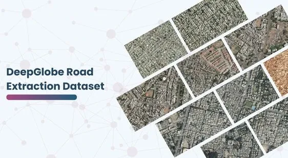
- The training data for Road Challenge contains 6226 satellite imagery in RGB, size 1024×1024.
- The imagery has 50cm pixel resolution, collected by DigitalGlobe’s satellite.
- The dataset contains 1243 validation and 1101 test images (but no masks).
Label
- Each satellite image is paired with a mask image for road labels. The mask is a grayscale image, with white standing for road pixel, and black standing for background.
- File names for satellite images and the corresponding mask image are id _sat.jpg and id _mask.png. id is a randomized integer.
- Please note:
- The values of the mask image may not be pure 0 and 255. When converting to labels, please binarize them at threshold 128.
- The labels are not perfect due to the cost for annotating segmentation mask, specially in rural regions. In addition, we intentionally didn’t annotate small roads within farmlands.
Conclusion
We’re really excited at Globose Technology Solutions because we believe our data has huge potential. We intend to use it to create excellent solutions for accurate road mapping and to improve city planning.
This dataset is sourced from gts.ai.

Quality Data Creation

Guaranteed TAT

ISO 9001:2015, ISO/IEC 27001:2013 Certified

HIPAA Compliance

GDPR Compliance
