AmsterTime
Home » Dataset Download » AmsterTime
AmsterTime
Datasets
AmsterTime
File
AmsterTime
Use Case
AmsterTime
Description
Explore the AmsterTime dataset, a comprehensive visual place recognition benchmark featuring 2,500 image pairs of Amsterdam's urban scenes.

Description:
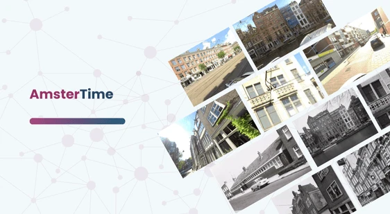
The AmsterTime dataset is a comprehensive visual place recognition benchmark designed to address severe domain shifts. It comprises 2,500 meticulously curated image pairs of the same scenes in Amsterdam, matched from street views to historical archival images. These pairs capture identical locations using different cameras, viewpoints, and appearances.
Download Dataset
Key Features:
- Historical Archive: Over 1,200 license-free images from the Amsterdam City Archive, documenting urban spaces from the past century.
- Crowdsourced Data: Street view images sourced from Mapillary, ensuring contemporary relevance.
- Human Verification: Matches verified by architectural historians and Amsterdam residents to ensure accuracy.
- Diverse Image Properties: Includes variations in time, structure, occlusion, viewpoint, appearance, and illumination.
- Domain Shift: Highlights significant differences between scanned archival and modern street view images, providing a challenging dataset for Visual Place Recognition (VPR) tasks.
This dataset is sourced from Kaggle.
Contact Us

Quality Data Creation

Guaranteed TAT

ISO 9001:2015, ISO/IEC 27001:2013 Certified

HIPAA Compliance

GDPR Compliance

Compliance and Security
Let's Discuss your Data collection Requirement With Us
To get a detailed estimation of requirements please reach us.
