
Sky Outline Matting Dataset
Home » Case Study » Sky Outline Matting Dataset
Project Overview:
Objective
In creating the Pest Detection Dataset, our goal was to build a comprehensive resource for identifying and classifying agricultural pests and diseases. This dataset is intended to be the foundation for developing AI tools that help farmers detect pests early and manage them effectively.
Scope
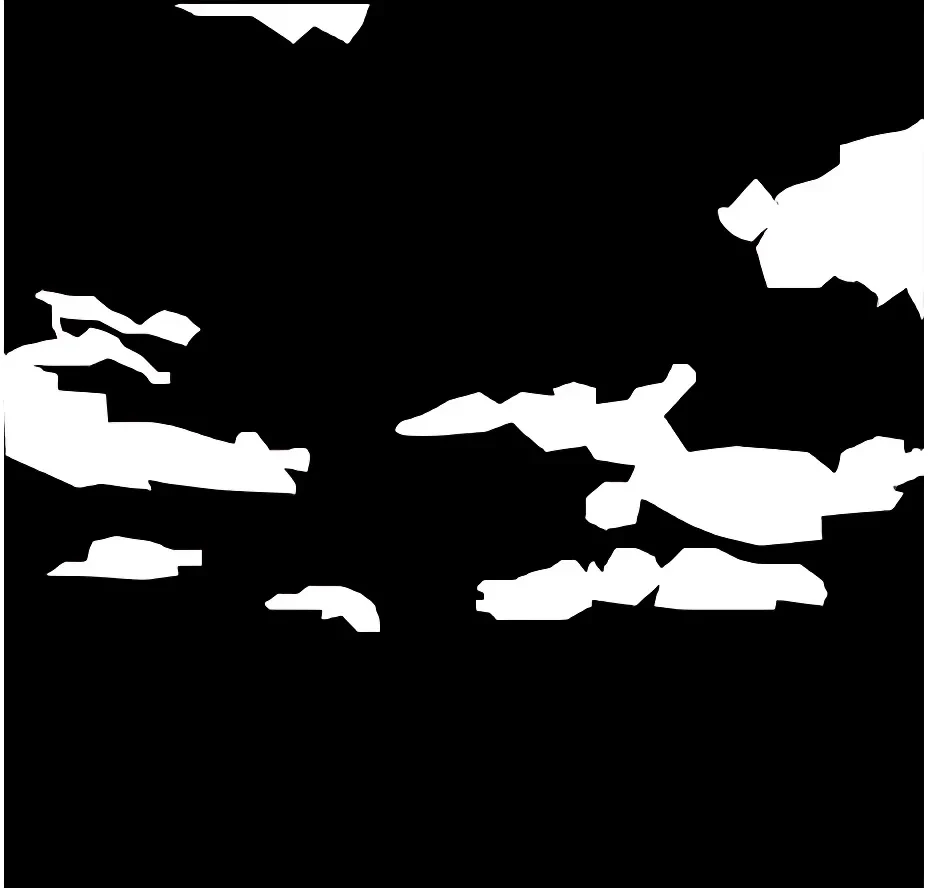
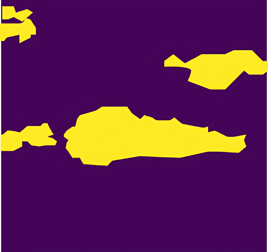
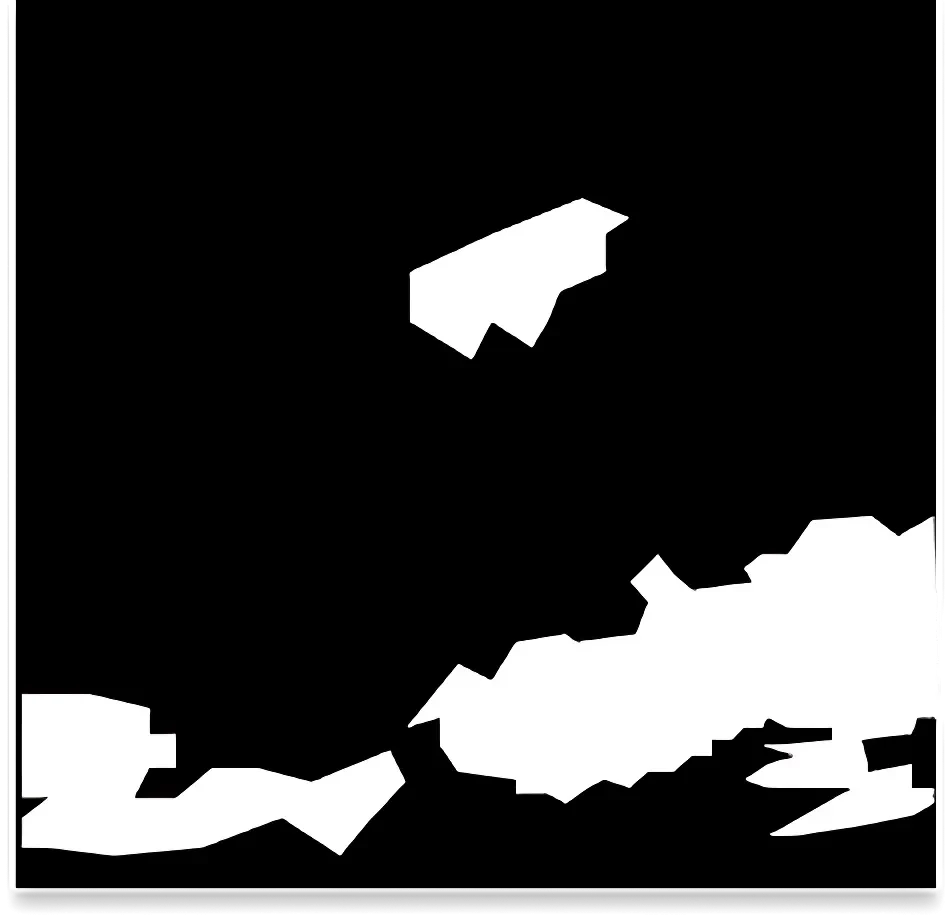
Our team set out to gather a diverse range of images, concentrating on horizons and skies. Consequently, we carefully annotated this collection to highlight sky regions, demonstrating our expertise in creating datasets for machine learning models. By diligently labeling each image, we ensured the data’s accuracy and usability.


Sources
- Urban cityscapes showcasing towering buildings.
- Idyllic rural settings with serene landscapes.
- Peaceful beach views.
- Rugged mountain scenes.
- Beautiful sunsets and sunrises.
- Enchanting night skies, with and without stars.

Data Collection Metrics
- Total Images: 80,000
- Cityscapes: 20,000
- Rural Landscapes: 15,000
- Beach Horizons: 12,000
- Mountainous Terrains: 18,000
- Sunsets/Sunrises: 10,000
- Night Skies: 5,000
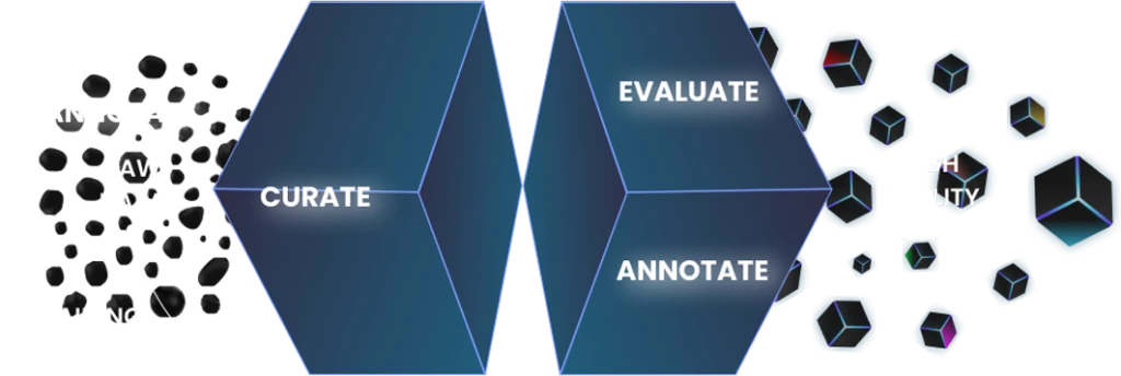
Annotation Process
Stages
- Image Pre-processing: We start by enhancing the image quality. This crucial step ensures a clear demarcation of the sky.
- Sky Region Identification: Next, we employ advanced tools to precisely highlight the sky regions, ensuring accuracy.
- Matting Annotation: After identifying the sky, we focus on matting annotation. This involves accurately marking the sky boundaries, even including semi-translucent areas.
- Validation: Finally, we rigorously cross-check the results. We use both automated tools and manual reviews to ensure the highest accuracy.
Annotation Metrics
- Total Sky Boundary Pixels Annotated: 160 million
- Fully Opaque Sky Pixels: 120 million
- Semi-Translucent Sky Pixels: 40 million
Quality Assurance
Stages
- Automated Matting Tools: Using advanced technology, we validate with precision and efficiency in our processes. Additionally, this ensures our results are reliable and accurate.
- Expert Review: Furthermore, we involve industry specialists to oversee complex cases. Their expertise and accuracy help us handle even the most challenging tasks effectively.
- Inter-annotator Agreement: To ensure consistency among different annotators, we implement rigorous standards. Moreover, we conduct regular checks to maintain high-quality results.
QA Metrics
- Annotations Reviewed by Experts: 3 million pixels
- Inconsistencies Identified and Rectified: 600,000 pixels
Conclusion
The Sky Outline Matting Dataset is a top provider of high-quality data for sky segmentation tasks. It drives advancements in graphics, film production, and simulation tools. With careful annotation and validation, the dataset ensures top accuracy and precision. Consequently, it stands out as a reliable resource in its field.

Quality Data Creation

Guaranteed TAT

ISO 9001:2015, ISO/IEC 27001:2013 Certified

HIPAA Compliance

GDPR Compliance

Compliance and Security
Let's Discuss your Data collection Requirement With Us
To get a detailed estimation of requirements please reach us.