Satellite Components Segmentation Dataset
Home » Case Study » Satellite Components Segmentation Dataset
Project Overview:
Objective
The Satellite Components Segmentation Dataset is considered crucial by developers for several reasons. This dataset aims to aid the manufacturing, maintenance, and diagnostic processes of satellites. By ensuring correct identification of each part, the dataset assists in effectively monitoring wear and tear or potential malfunctions.
Scope
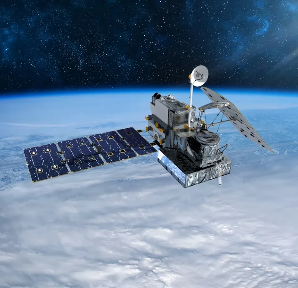
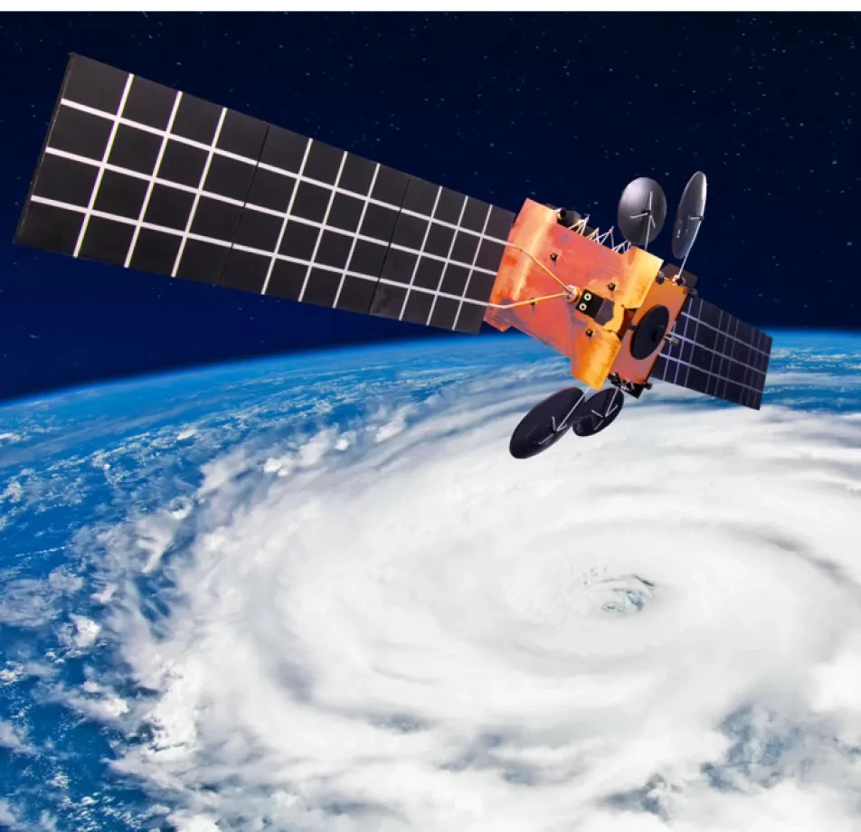
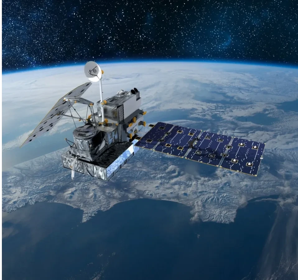
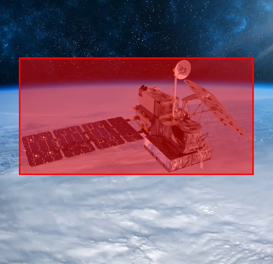
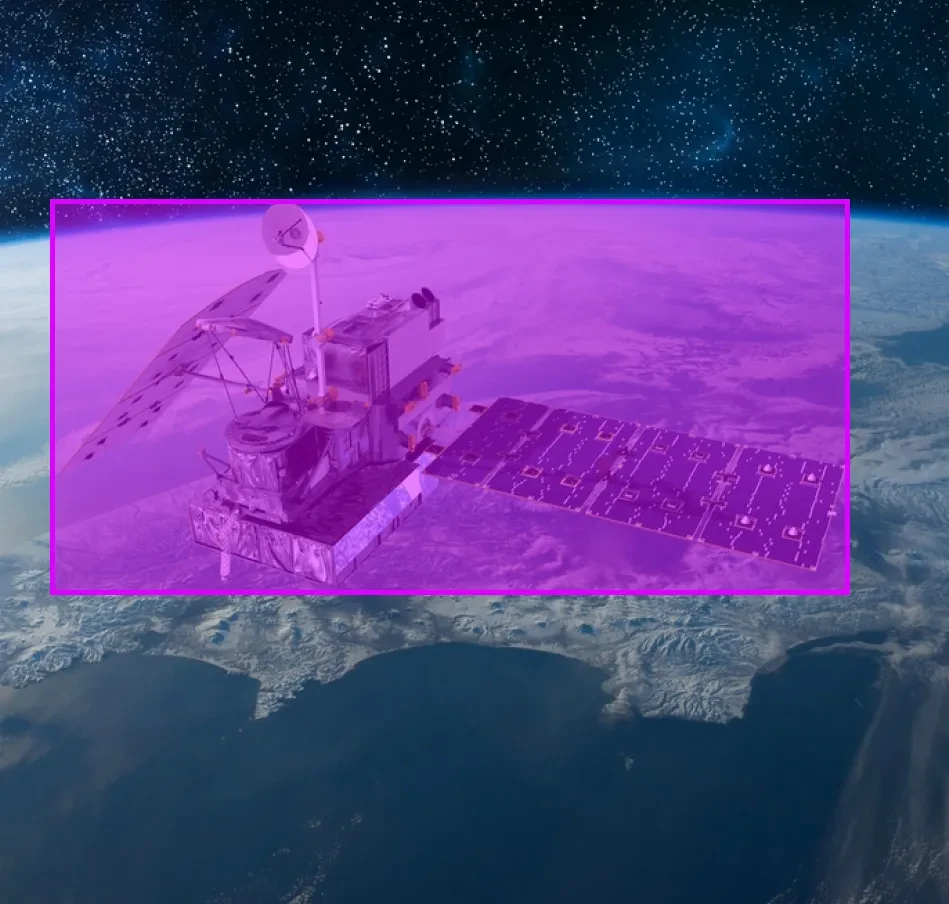
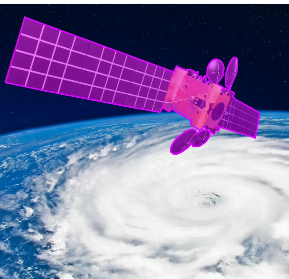
Collect a range of high-resolution images of different satellite models. Each image will have pixel-wise annotations detailing specific components such as solar panels, antennas, transponders, thermal radiators, propulsion systems, and payload instruments.

Sources
- Partnerships with space agencies and satellite manufacturers.
- Additionally, technical manuals and assembly blueprints provide essential guidance for constructing and operating satellites.
- Furthermore, contributions from satellite assembly and maintenance workshops play a vital role in ensuring the functionality and longevity of these sophisticated devices.


Data Collection Metrics
- Total Satellite Images: 12,000
- Communication Satellites: 4,000
- Weather Satellites: 2,000
- Observation Satellites: 3,000
- Scientific Satellites: 1,500
- Navigational Satellites: 1,500
Annotation Process
Stages
- Image Pre-processing: To begin with, enhancing clarity is crucial. Additionally, adjusting contrast plays a significant role. Furthermore, normalizing images ensures consistent quality across the dataset.
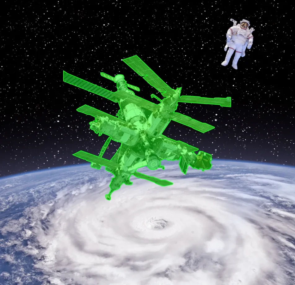
- Pixel-wise Segmentation: Subsequently, using specialized software, annotators will meticulously mark every pixel related to distinctive components. This step is essential for achieving precise segmentation.
- Validation: Finally, through peer reviews and consultations with satellite engineers, the accuracy of annotations will be thoroughly verified. This ensures the reliability of the segmented data.
Annotation Metrics
- Total Pixel-wise Annotations: 12,000 (One for each image)
- Average Annotation Time per Image: 30 minutes (Given the intricacy of satellite components)

Quality Assurance
Stages
Automated Model Verification: Firstly, preliminary segmentation models assess the consistency and accuracy of annotations.
Engineer Review: Satellite engineers and technicians cross-check the annotations to ensure that each component is accurately segmented.
Agreement: Furthermore, select images are annotated by multiple professionals to guarantee uniformity in segmentation.
QA Metrics
- Annotations Validated using Segmentation Models: 6,000 (50% of total images)
- Engineer-reviewed Annotations: 4,800 (40% of total images) Additionally, they have provided feedback on these annotations.
- Inconsistencies Identified and Rectified: 240 (2% of total images)
Conclusion
The Satellite Components Segmentation Dataset represents a pioneering effort in the domain of aerospace engineering and satellite maintenance. Enriched with precision and comprehensive coverage, this dataset is set to significantly augment satellite manufacturing, diagnostic, and repair operations. It ensures that each component is accurately identified, monitored, and maintained, thereby ensuring the prolonged and efficient functioning of these celestial machines.

Quality Data Creation

Guaranteed TAT

ISO 9001:2015, ISO/IEC 27001:2013 Certified

HIPAA Compliance

GDPR Compliance

Compliance and Security
Let's Discuss your Data collection Requirement With Us
To get a detailed estimation of requirements please reach us.
