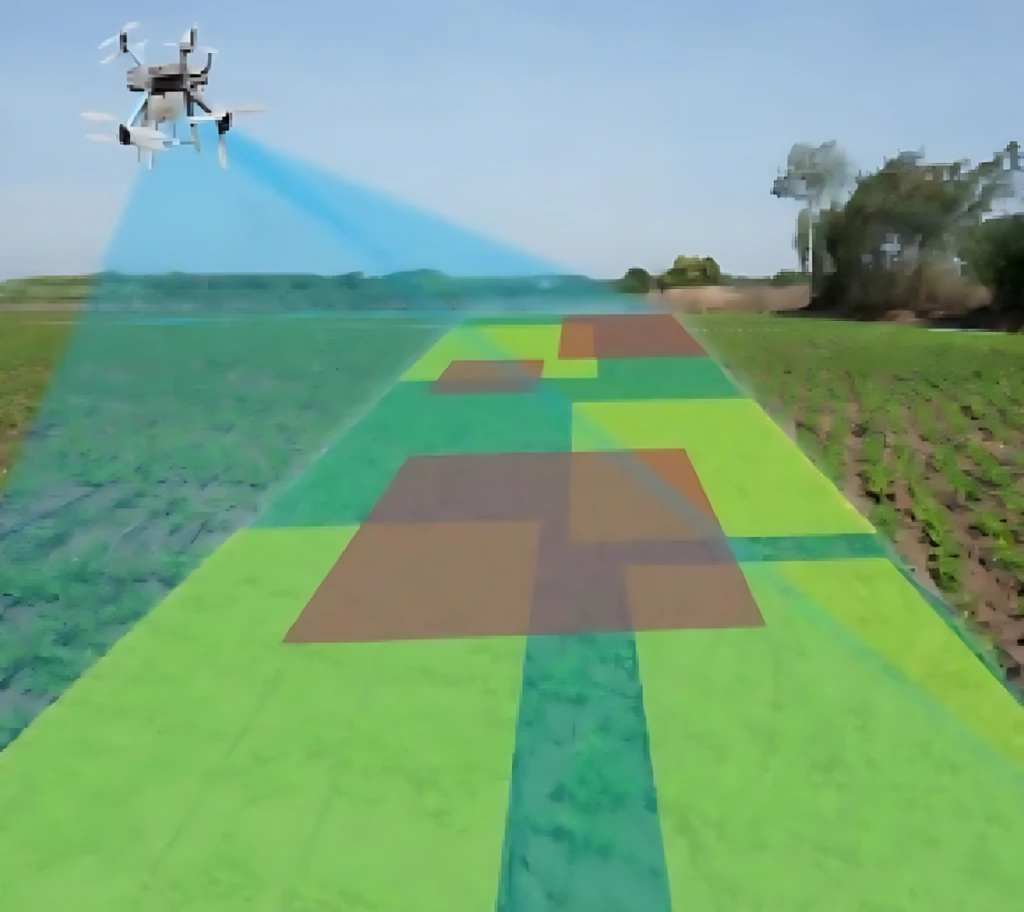
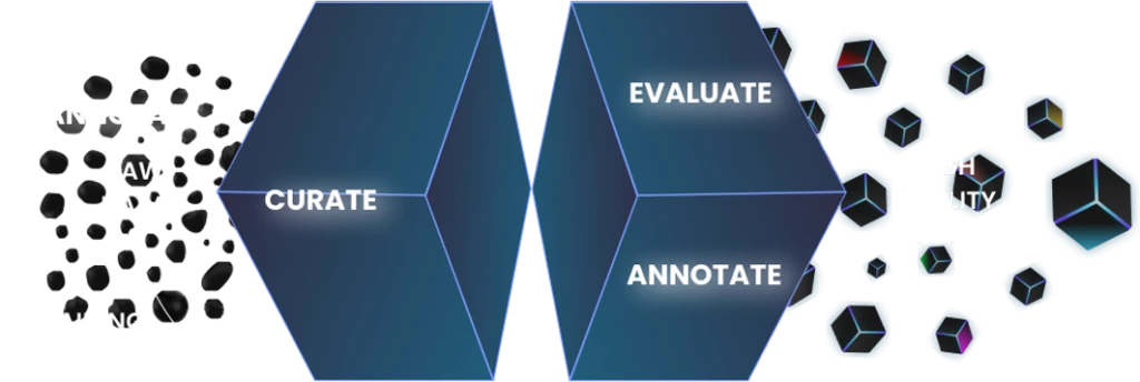
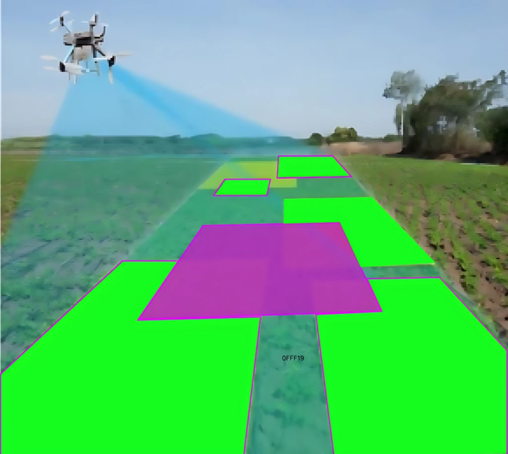
To create a comprehensive dataset dedicated to the segmentation of various objects in remote sensing images. This dataset aims to bolster advancements in satellite imagery analysis, land cover classification, environmental monitoring, and urban planning.
Amass a diverse collection of high-resolution satellite images capturing urban, rural, coastal, forest, and desert environments. Each image will have pixel-wise annotations to highlight specific objects such as buildings, roads, water bodies, vegetation, and vehicles.
Automated Model Evaluation: Use preliminary segmentation models to compare their results with human annotations, identifying potential mismatches.
Expert Review: Every segmented image is scrutinized by remote sensing specialists for validation.
Inter-annotator Agreement: Some images are annotated by multiple individuals to ensure standardization in the segmentation process.
The Remote Sensing Object Segmentation Dataset stands as a landmark contribution to the realm of geospatial analytics and environmental monitoring. By offering meticulously segmented high-resolution images from diverse terrains, the dataset promises to be a cornerstone for breakthroughs in satellite imagery analysis, aiding endeavors ranging from urban planning to environmental conservation.
To get a detailed estimation of requirements please reach us.