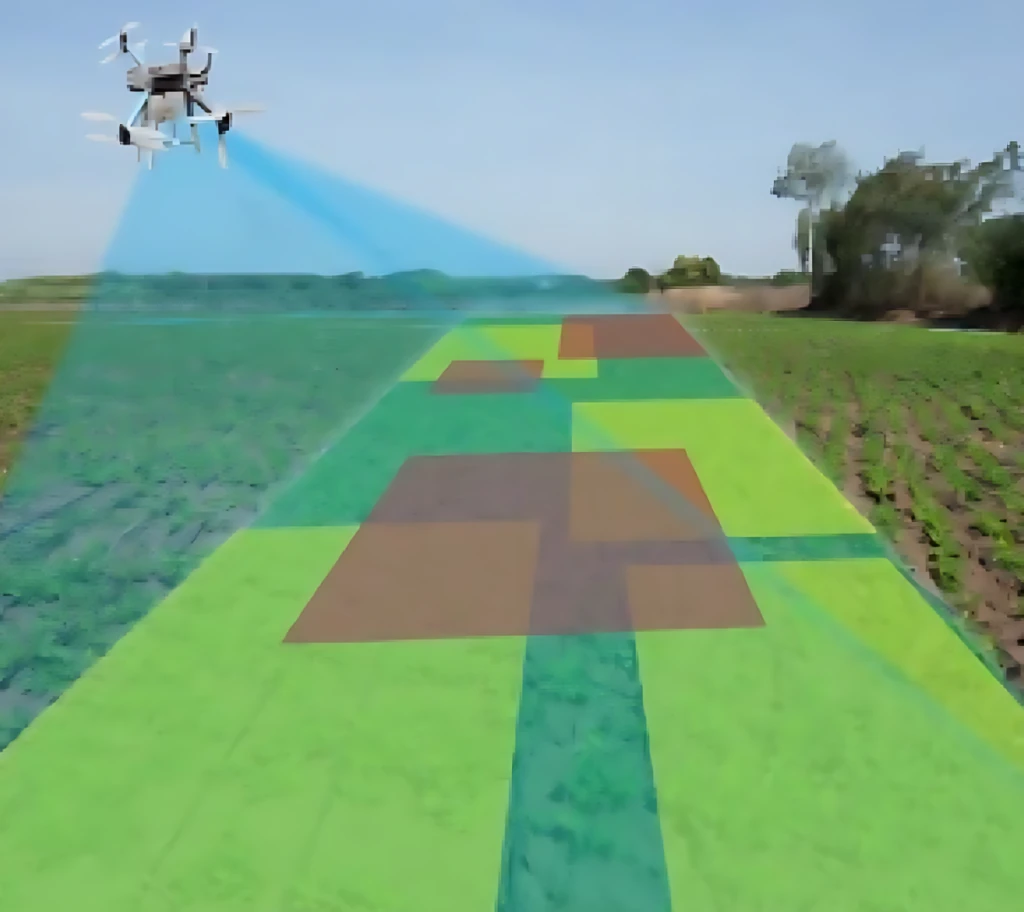
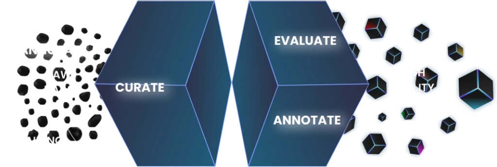
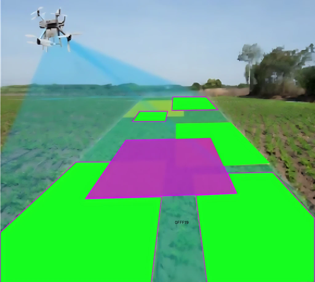
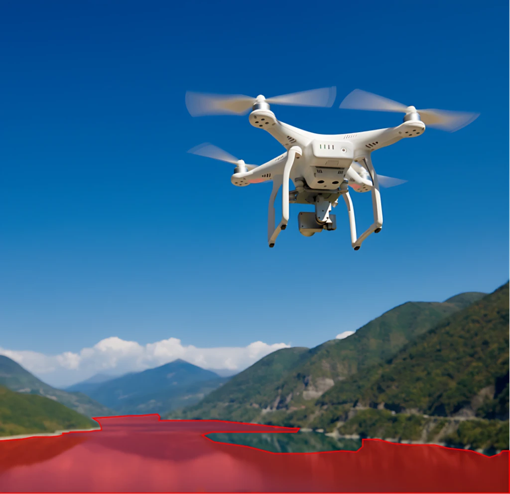
The objective of this case study is to present the creation of a specialized dataset tailored for Remote Sensing Object Segmentation tasks. This dataset is designed to support the development and evaluation of machine learning algorithms for the precise detection and segmentation of objects within remote sensing imagery.
The scope of this project encompasses the collection of diverse remote sensing images and the meticulous annotation of objects within these images to ensure data quality and relevance for Remote Sensing Object Segmentation tasks.
Expert Review: A team of remote sensing experts reviewed a random subset of the annotated images to validate the accuracy and consistency of object segmentation.
Consistency Checks: Automated algorithms were utilized to detect and rectify inconsistencies in the dataset, such as mislabeled object segments or incomplete annotations.
Inter-annotator Agreement: Multiple annotators collaboratively worked on a subset of the data to ensure agreement and maintain consistency in object segmentation.
QA Metrics:
Through the meticulous collection and annotation processes, a robust Remote Sensing Object Segmentation dataset was successfully created. This dataset serves as a testament to our commitment to data accuracy, comprehensiveness, and relevance, making it a valuable resource for the remote sensing, geospatial, and machine learning communities. Researchers and practitioners can leverage this dataset to advance the accuracy and applicability of object segmentation techniques in the field of remote sensing and environmental monitoring.
To get a detailed estimation of requirements please reach us.