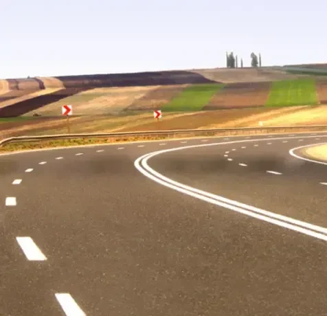
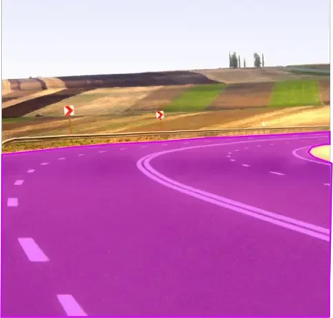
Drivable Area Segmentation Dataset
Home » Case Study » Drivable Area Segmentation Dataset
Project Overview:
Objective
We embarked on a mission to meticulously compile a dataset that excels in drivable area segmentation. This dataset is not just a collection of images; it’s a testament to our commitment to enhancing the precision and safety of autonomous driving systems.
Scope
Gathering images from various road conditions, terrains, and urban settings. Annotating these images to delineate drivable surfaces from non-drivable areas.


Sources
- Bustling urban streets from major global cities.
- Suburban roads reflecting diverse neighborhood characteristics.
- Serene rural paths from agricultural landscapes.
- Expansive highways and fast-moving motorways.
- Challenging off-road trails for specialized vehicles.
- A spectrum of weather scenarios, from sunny to snowy.


Data Collection Metrics
- Total Data Points: 450,000 images
- Urban Streets: 150,000
- Suburban Roads: 100,000
- Rural Roads: 50,000
- Highways/Motorways: 125,000
- Off-road Trails: 25,000
Annotation Process
Stages
- Raw Data Cleaning: We meticulously sift through the data, ensuring clarity and relevance.
- Basic Road Segmentation: Our first layer of annotation highlights the primary drivable surfaces.
- Detailed Segmentation: We delve deeper, marking out lanes, shoulders, parking zones, pedestrian areas, and more.
- Obstacle Annotation: Identifying potential road hazards is crucial for safety.
- Annotation Review: A final sweep guarantees consistency and accuracy across the dataset.
Annotation Metrics
- Total Annotations: 1,800,000 (4 segments per image on average)
- Basic Road Segmentation: 450,000
- Detailed Segmentation: 1,125,000
- Obstacle Annotations: 225,000
- Annotations Reviewed: 180,000


Quality Assurance
Stages
Expert Review: Select annotations undergo scrutiny by autonomous driving specialists.
Automated Checks: Advanced algorithms aid in spotting inconsistencies.
Inter-annotator Agreement: Multiple annotators provide a unified vision for each image.
QA Metrics
- Annotations Reviewed by Experts: 180,000 (10% of total annotations)
- Inconsistencies Identified and Rectified: 18,000 (1% of total annotations)
Conclusion
The Drivable Area Segmentation Dataset serves as a cornerstone for the development of reliable and safe autonomous driving systems. Through its extensive coverage of diverse road conditions and meticulous annotations, the dataset ensures that AI systems can accurately recognize and navigate drivable terrains in real-world settings.

Quality Data Creation

Guaranteed TAT

ISO 9001:2015, ISO/IEC 27001:2013 Certified

HIPAA Compliance

GDPR Compliance

Compliance and Security
Let's Discuss your Data collection Requirement With Us
To get a detailed estimation of requirements please reach us.
