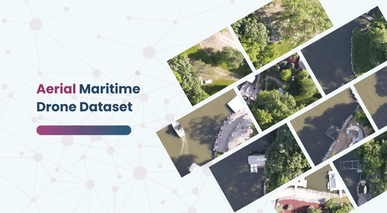
Aerial Maritime Drone Dataset
Home » Dataset Download » Aerial Maritime Drone Dataset
Aerial Maritime Drone Dataset
Datasets
Aerial Maritime Drone Dataset
File
Maritime Drone Dataset
Use Case
Maritime Drone Dataset
Description
Explore the Aerial Maritime Drone Dataset, captured by a Mavic Air 2 at 400 feet, featuring high-resolution images with labeled bounding boxes for docks, boats, lifts, jetskis, and cars.

Description:
The Maritime Drone Dataset features high-resolution images captured by a Mavic Air 2 drone flying at an altitude of 400 feet. This dataset includes aerial photographs focusing on maritime environments, with labeled bounding boxes identifying various objects such as docks, boats, lifts, jetskis, and cars. It is designed for multi-class object detection in aerial views, specifically for maritime contexts.
Download Dataset
Key Features:
- Image Source: Captured via Mavic Air 2 drone.
- Altitude: 400 feet.
- Annotations: Bounding boxes for docks, boats, lifts, jetskis, and cars.
- Problem Type: Multi-class aerial object detection.
- Licensing: Released under the MIT license by the Roboflow team.
Applications: This dataset is ideal for developing and training machine learning models for aerial object detection in maritime settings. It can be used for enhancing autonomous navigation systems, maritime surveillance, and environmental monitoring.
Additional Content: In addition to the primary objects, the dataset can be utilized to study the environmental impact of human activities on coastal regions. By training AI models on this dataset, users can improve the accuracy of detecting and monitoring various maritime assets, contributing to better resource management and safety protocols.
This dataset is sourced from Kaggle.
Contact Us

Quality Data Creation

Guaranteed TAT

ISO 9001:2015, ISO/IEC 27001:2013 Certified

HIPAA Compliance

GDPR Compliance

Compliance and Security
Let's Discuss your Data collection Requirement With Us
To get a detailed estimation of requirements please reach us.
